Season’s First Significant Snowfall in the Forecast for Ohio Valley
Ohio Valley residents waking up this morning will likely have to break out some snow shovels so they can make it to work.
The first significant snowfall of the winter was forecast to begin after midnight Monday and continue into Tuesday morning. According to the National Weather Service in Pittsburgh, the Ohio Valley could see anywhere from two to five inches of snow on the ground.
Weather reports have the Wheeling area getting between one and three inches, and NWS Meteorologist Alicia Miller said it’s more likely the area will see the higher end of that prediction. Some areas north of Wheeling could see even more, she said.
“In the vicinity of Wheeling to Pittsburgh, there could be an enhancement in the snow rates, closer to an inch an hour or maybe an inch-and-a-half an hour,” Miller said. “And right around the commute time, which is not ideal.
“For any folks who are commuting, that may be something they want to consider,” she added.
While temperatures haven’t dipped too low in the area, Miller said that, with most of the snow falling overnight and in the early morning, it will stick to the road.
The weather should get warm enough in the late morning that the snow could turn into rain, but Miller said motorists should still be cautious. While the rain may wash some of the snow away, there’s a possibility it could freeze once it hits the roadways and lead to even more treacherous paths.
A winter weather advisory has been issued for the area until 1 p.m. Tuesday.
Slight chances of snow will reappear later in the week, but the temperatures will get much colder, falling to a forecast low of 12 degrees Thursday night.
Miller said judging the severity of the entire Ohio Valley winter season is tough. When there is a strong El Nino or La Nina weather pattern, it is easier to predict long-term outlooks. There is a weak La Nina right now, Miller said, so the National Weather Service is tentatively predicting a winter season around normal in terms of temperature and snowfall.
“We monitor the cold air that’s coming out of Canada and one of the things we look at is the amount of ice in the Arctic,” she said. “Right now, that’s actually below normal, so if there’s less ice to start, that means the air is not as cold. It gets complicated, but right now we’re thinking closer to normal for snowfall and maybe slightly below normal for temperature.”
Community
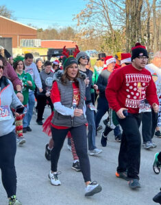
Annual Santa’s Spirit Sprint Set for Saturday in Barnesville
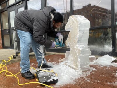
Culinary Students Carve Out New Skills at WVNCC
AEP Continues To Modernize Street Lights Around Wheeling
The future of Wheeling is already looking brighter in a number of areas throughout town, as AEP continues to ...

State Official Addresses Hancock County Schools’ Financial Difficulties
Season’s First Significant Snowfall in the Forecast for Ohio Valley
Ohio Valley residents waking up this morning will likely have to break out some snow shovels so they can make it to ...